Accurate Analysis
"Precision analytics driving informed decisions"
Ethical Data Handling
“Committed to ethical and compliant data practices”
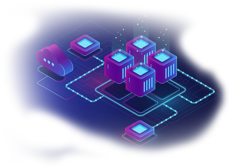
Secure Infrastructure
“Robust security measures ensuring data protection and compliance”
Timely solutions that drive progress
Delivering dependable GIS solutions, every time
Understanding your goals, delivering your vision
"GeoIntelix transforms geospatial data into actionable insights. We bridge technology and the environment, delivering precision solutions in remote sensing, GIS and spatial analytics. Mapping today, empowering tomorrow."

"We offer Interactive, Real- time mapping solutions, High-resolution aerial surveys, Advanced remote sensing and Image analysis, Precision ground mapping for various industries and Custom map creation for diverse applications"
Static Web Maps
Slippy Maps
Real-Time Web Maps
Collaborative Web Maps
3D Web Maps
Thematic Web Maps
Custom GIS Web
Applications
Image Classification
Change Detection
Spatial Analysis
Object-Based Image Analysis
Thermal Image Processing
SAR Processing
Topographic Surveying
Cadastral Surveying
Engineering Surveying
Geodetic Surveying
Remote Sensing-Based
Surveying
Environmental Surveying
At GeoIntelix, our values define who we are and how we operate. With Customer Focus at the core, we are committed to delivering innovative GIS solutions tailored to our client's needs.
© 2025 GeoIntelix. All rights reserved.